“Roughly a trapezoid” that averages 1650 miles/2660 km across from north to south.
Edit: I just looked it up, the northernmost point is Angle Inlet, MN. The southernmost point is Key West, FL. Both are on the map. If you drove nonstop from one to the other, it would take you 36 hours.


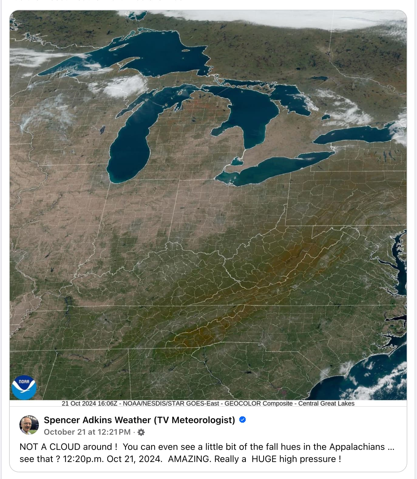
I mean, US is roughly a trapezoid, lakes on top, mountain range left and right side… Anyway, it hinders the purpose of seeing the fall colours.
“Roughly a trapezoid” that averages 1650 miles/2660 km across from north to south.
Edit: I just looked it up, the northernmost point is Angle Inlet, MN. The southernmost point is Key West, FL. Both are on the map. If you drove nonstop from one to the other, it would take you 36 hours.